Simeon De Witt's Star Map
This is the oldest surviving Anglo-American star map, drawn by hand in 1780 by surveyor Simeon De Witt during the Revolutionary War. It shows the bright stars visible in Ringwood, New Jersey, where it was made.
De Witt not only drew a star map, he crammed other information onto his small device. Above the map is a rotating disc, or volvelle, with an oval cut out of it. The part of the oval nearest the edge of the map represents the horizon at a given time. The stars that appear through the opening are those visible at that time. Also included are a perpetual calendar for the years 1781 through 1826, a list of brilliant stars and the constellations that contain them, and (on the back) scales for finding phases of the moon.
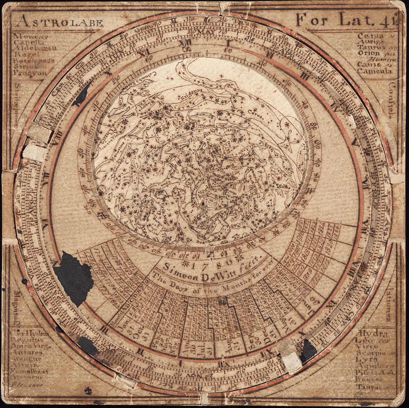
The Astrolabe of Simeon De Witt (Front view)
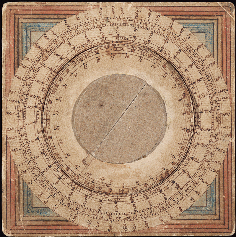
The Astrolabe of Simeon De Witt (Back view)
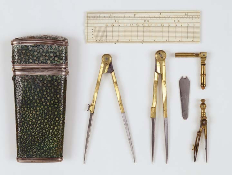
Simeon De Witt used instruments similar to these to draw his star map. Gift of Mrs. Allen A. Jones
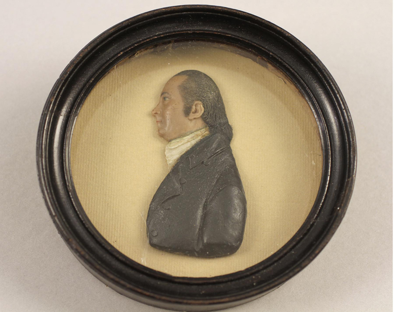
Wax portrait of Simeon De Witt by itinerant German artist John Christian Rauschner, around 1800. This is De Witt about twenty years after he drew his star map. Courtesy of Albany Institute of History & Art; gift of Sarah W. De Witt, 1924.1.10